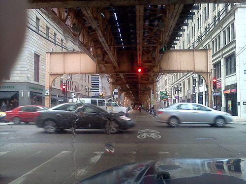
The thing about living in Chicagoland is that you quickly learn how to use mass transit. It's a ubiquitous part of life in this metropolitan area. If you live in "the city", as Chicago is known, the elevated, or "the el", as it's known, is, for the most part, within walking distance of your house.
It goes to both airports and makes a loop around the downtown. It's that circle of the el, part of which is shown above, that gives the downtown of Chicago the moniker, "The Loop".
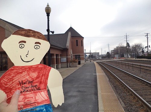
Transportation into the city is via a number of spokes, one of which, the western line of Metra (Metropolitan Rail Transit Authority), goes through Wheaton where I live. When Flat Stanley came to visit, back in March, we went to the Metra station.
So, when Carole said we were taking the train into DC, I was excited. I like public transportation. I think there should be more of it; more busses and trains to get us around the urban and suburban areas where we live. Perhaps you'd have to wait 10 minutes for the next bus or train, but being able to get where you want to go without adding your car to traffic should be an option.
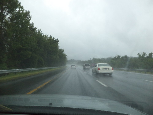
Unfortunately, unless you make reservations on Amtrak, a trip into DC from Richmond involves a drive north on heavily congested Interstate 95 to the end of the blue and yellow lines at Franconia/Springfield. It was a rainy day to start.
I'm pretty inured to traffic but here it is, Sunday morning and it just wasn't moving in spots.
The station at Franconia/Springfield is multi-purpose in that it serves not only the metro but also busses.
It's very modern, sleek and clean. Coming from a city where the el stations can be upwards of 80 years old, this was quite the difference.
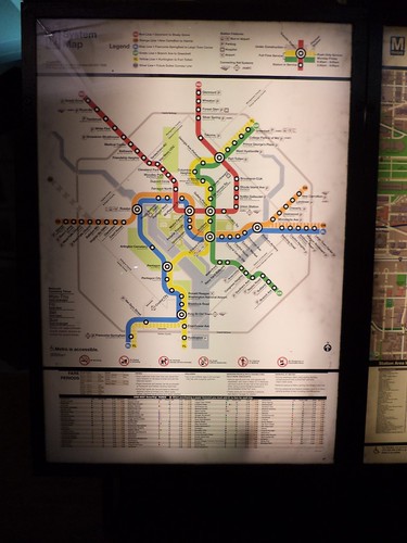
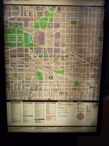
There are clear, easy to read, maps everywhere.
There was a brief discussion on where would be the best stop to disembark. We decided the Capitol South station was the best place to get off. Ticket kiosks could be a bit better designed. Carole had to help me buy my ticket because I was confused. This could be because I'm quite used to buying tickets for the el and I have to remember, different city, different kiosk. Once the ticket was in hand, we descended into the bowels of the station.
I never did figure this out.
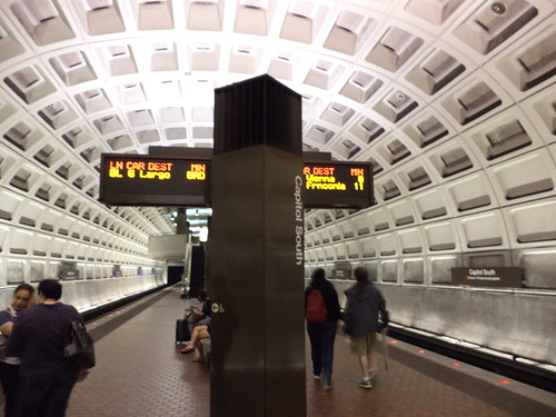
This sign tells you which train is coming and how soon it will arrive. We're at the Capitol South stop and heading out of the station. There are incoming trains to this station. I guess you learn when you have to or choose to ride this every day, but I never did figure out which train was coming. In Chicago, train cars have colored placards on the side of them. When a car is hooked to a train, and there are more at rush hour, naturally, than off-peak hours, the placard is changed to the color of the train on which the car will be used. When the train pulls up to a station, you can instantly tell if this is your train. I didn't see this system at all in the DC metro. Heading back, after walking the Mall, I had to rely on Carole's reassurances that our train was coming and not to get on the one that pulled up.
This blue/yellow line took us past Regan Airport. There were a lot of people with luggage getting on and off at this spot.
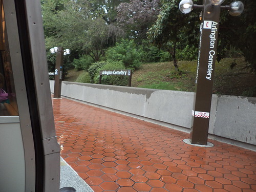
We also stopped at Arlington Cemetery.
You can't see anything from the metro, but it's nice to know that some day, when I come to visit, this could be a stop on a day's adventure. It's one of the places I've always wanted to visit.
The Capitol South stop put us one large block south of the Capitol building.
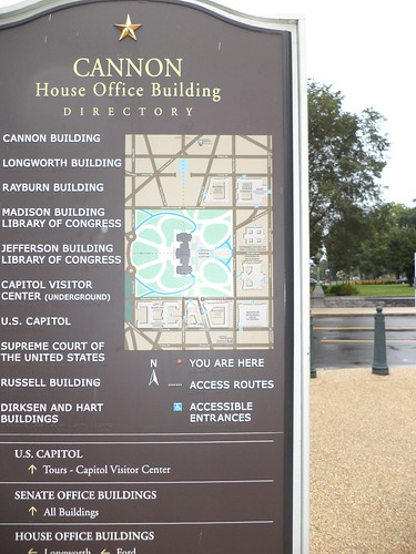
Maps are everywhere; in the metro both before and after you get a ticket, and on signs all around the area. This one was by the Canon Building.
Don't see what you're looking for? Walk to one of the other places located on the map and there will be another sign pointing you in, probably, the correct direction.
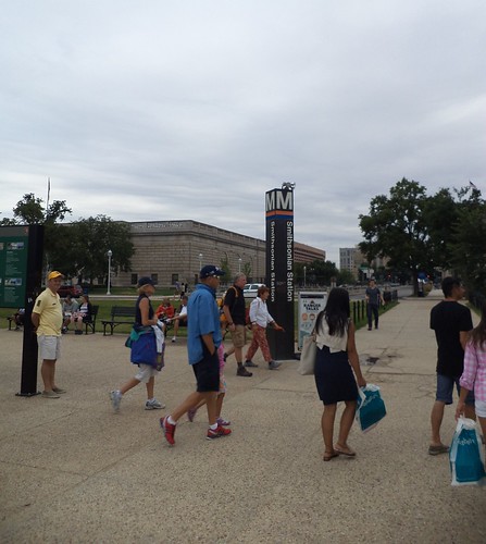
Coming back, after walking all over and deciding it was time to head home, we went to the metro stop outside the Smithsonian building.
Metro entrances are clearly marked and have maps showing you where you can go from this station. If you need to transfer to a different line, they show you that too.
I enjoyed riding the metro even if I was a bit concerned at the Smithsonian Station about being able to sit down on any train we'd get on. There were a lot of people and, by the time we got to the station, my legs, feet and hips hurt. As it happened, most people got on an orange line train so there were very few people on a blue line train. Could have fooled me how they knew.
When I go back to visit Carole again, assuming we have the time, there are an abundance of places to visit. I only got a very miniscule taste of what is offered in the nation's capital. Taking the metro and walking, while a test of my endurance, is the best way to see things. I know, from listening to friends talk who live in the area, the metro is being expanded to other suburbs in an effort to alleviate DC's traffic congestion. I'd entertain the idea of riding the metro end to end, just to say I'd done it. Besides, the station architecture isn't unpleasant.
Beverage: Dr Pepper
Deb



No comments:
Post a Comment