Showing posts with label Revolutionary War. Show all posts

Saturday, June 28, 2014

On Vacation-Driving Virginia

Carole and Larry live off a highway south of Warrenton, Virginia. On Friday, Carole and I had to run errands. We took the rental car and drove around so I could have some sense of the land where they live.


First of all, it's green. There are a lot of trees and pasture in this area. Horse farms too.
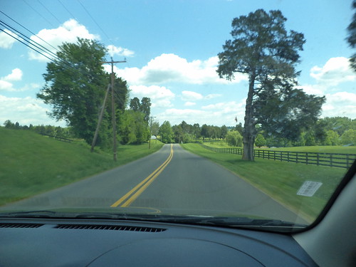

Ironically, when mom and I were out here in 2011, we turned onto the very road Carole and Larry now live on and drove it quite a ways before turning around because at that time, we weren't going the right way.

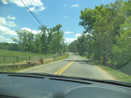
The road winds.
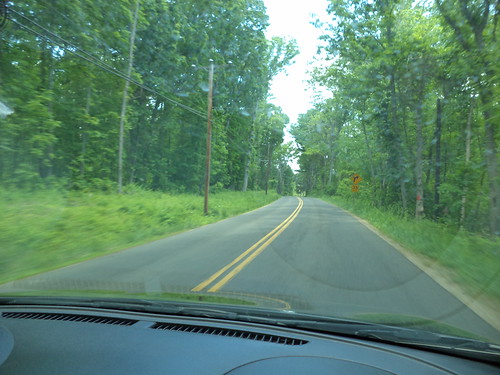

That's the part that is very interesting to me. There are some straight stretches, but the road is quite curvy. 
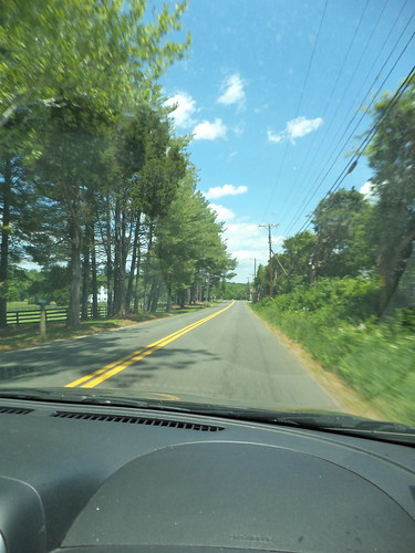

Trees and telephone poles are right on top of the road and if you're looking for a ditch, well, some places have one and some places don't. 


I've remarked on history before. I can sometimes think of "history" as starting with the early settlers of the Midwest. Although the area had been scouted by Father Marquette, real settlement didn't come until the early 19th century. Lewis and Clark didn't find large settlements when they headed west. Chicago was still draining the swamp. I take for granted that if I take Country Road Y54 to the north, it will, at some point, intersect with Highway 151 which runs on a diagonal from Cedar Rapids to Dubuque. Getting "there" from "here" in Iowa won't get you totally lost. In Virginia, all bets are off. 

We came to an intersection and Carole said, "I've never been this way. Let's see where it goes." 
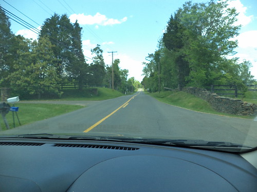

It went past more horse farms and stone walls which mark perimeters of homesteads which have been around for nearly 300 years. That's the part that is fascinating. (It's something we forget when we walk on European soil and see places where people have lived for millennia.) Warrenton was settled around the time of the War of 1812. Many places in Virginia were settled far earlier than that. People needed to get from point a to point b and they created the first roads by repeatedly driving a route someone had found. 
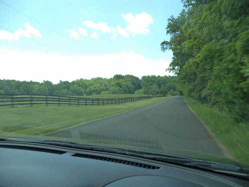

That route has never been substantially changed, although Interstates and more heavily traveled roads are straight. The roads we poked around on on Friday were not and were not as wide as we expected. 


The idea of a grid system to roads and town design wasn't used in Virginia. You need to go from here to there, you hopped into the buggy and headed that way. So the roads we drove on date from around the War of 1812; buggy tracks which were gradually improved, eventually blacktopped, but make them wider than a car and a half? Not likely. In fact, our road went from the above blacktop, one and a half car widths wide to a two track asphalt drive. 


Although covered with asphalt and looking reasonably sturdy, we decided this would be as far as our "where does this go" would take us on that day. 

I imagine soldiers of the Civil War trudging along these roads. They would have been unimproved and prone to flooding and mud when it rained. Macadam road construction, developed by a Scotsman, hadn't reached all public roads and that made a lot of them, little more than wheel packed dirt, quagmires when wet. It was a fascinating drive. 

I kind of want to know where this goes. 

"Two roads diverged in a yellow wood and I, I took the one less traveled by and that has made all the difference." Robert Frost

Beverage:  Huckleberry tea

Deb

Thursday, October 24, 2013

Richmond

Richmond, Virginia is an old city. Living in the Midwest, we can often overlook the fact that when we consider "old", say early 19th century, the east coast has places 200 years older than that. The locality we know as Richmond is a case in point. There was a settlement in the vicinity in 1609. The present city was founded in 1737.The James River runs just south of the downtown. Carole lives in a suburb and commutes about 15 minutes into downtown Richmond.

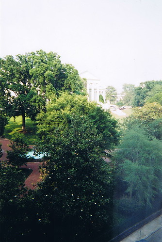
It's rather ironic that, in 2001, we visited Richmond for her post-high school graduation Civil War battlefields vacation. We stayed at a luxury hotel right off capitol square in downtown. (The hotel is still there. I forgot to photograph it when I was there.) This was the view from our hotel window in the morning.


The white speckles on the tree in the foreground are magnolia blossoms. The actual capitol building is in the upper center.

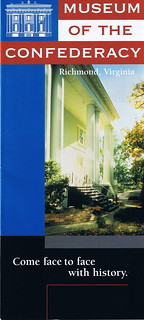
We were in Richmond to visit the Museum of the Confederacy. At the time, they were mounting the biggest exhibit assembled to date, of Robert E. Lee memorabilia. We knew nothing of this museum, in fact, the article where we noticed the exhibit called it an "unknown gem". Given the feelings provoked by the Civil War, a museum dedicated to the Confederacy could be a lightning rod for all sorts of ideas. As 'Northerners', we have our own feelings about this time in US history. Carole had done some research on the war and felt that Robert E. Lee's personal conflict was not as examined as it should be. She really wanted to see this exhibit, so we amended our travel route and added Richmond to the itinerary.

The exhibit was incredible. Lee was a much decorated and respected general when the war broke out. It's well-known that he chose to go with the Confederacy because Virginia, his home state, seceded from the union. It did not make him happy. He fought against people he considered friends. I remember seeing letters from Lee to friends where he talked about his anguish. I believe there were uniforms, weapons, paintings and Lee's death mask. We came away from the exhibit with a new-found appreciation of just how much the war took a toll on Lee personally. And we found the museum to be simply a repository for items from that conflict. They don't really get into the whys or the ramifications of the war. They present what they have as 'this is what this is'. It really is a gem of a museum and I would urge you to go visit if you're close by.

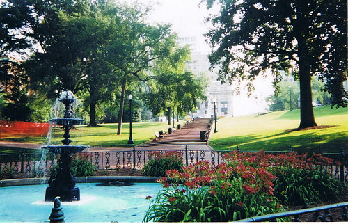
It's a three block walk from the Virginia capitol building. The park surrounding the capitol is very nice. In 2001, I took this photo as we walked from our hotel to the museum.


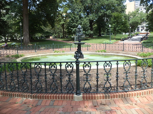
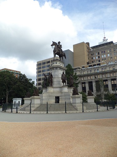
The steps lead to a statue of George Washington. In 2013, the fountain is still there.


The steps still lead to a statue of George Washington.


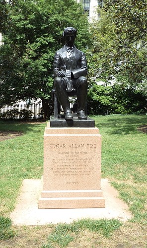
There's a small statue of Poe sitting off to the side. I don't remember seeing this before.


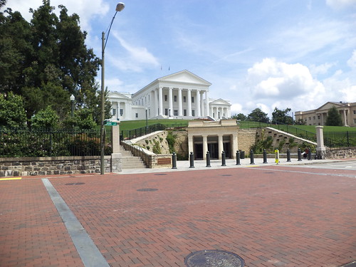
We did not take the capitol tour in 2001 as we were there for one specific reason. There is a new entry to the capitol building and it advertised tours. I didn't take the tour either as I was in downtown for two specific reasons; to see where Carole works and to visit the museum again.


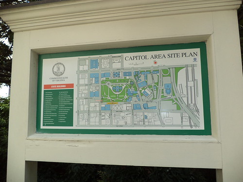
I'm a big one on maps and certainly appreciate when an area is presented visually.


I entered the area of the capitol from the upper right of the map and walked to the lower left. Carole can see the building from her office area.

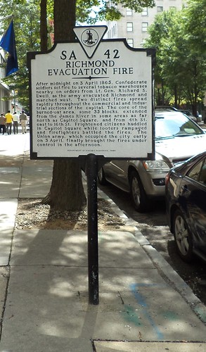
There is so much history here. I encountered this memorial plaque as I was walking to Carole's office.


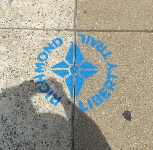
This talks about the fires set by Confederate soldiers in April of 1865 as the Union army closed in on the city. Carole mentioned that several of the signers of the Declaration of Independence, including George Washington and Thomas Jefferson, were meeting in Richmond at a time when the British army was approaching the city. Thanks to some fast thinking, the army was delayed just enough to get those men out of Richmond and to Charlottesville, 70 miles west of Richmond. Had they not been warned to leave, the Revolutionary War might have been a mere skirmish. It's easy to forget that part of Richmond's history as so much was tied up in the Civil War. To rectify that, Richmond developed the Richmond Liberty Trail.


This is painted on the sidewalk. This is self-guided and goes all over downtown Richmond. There is no real beginning to the trail. I must have seen a half-dozen of these on the sidewalk in my walk. Further research indicates this trail overlaps with two other walking trails, both self-guided. It's so easy to forget that the US history here predates items with which I'm familiar.

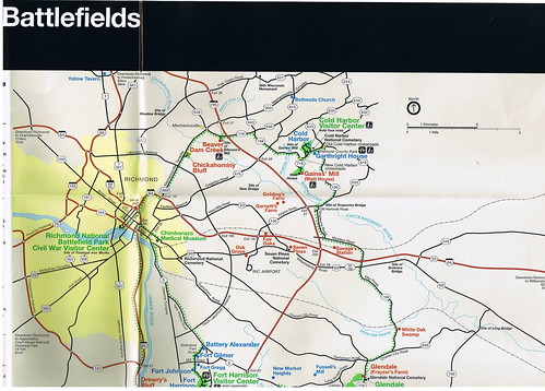
I wanted to visit Cold Harbor Battlefield while I was there. In 2001, we visited Tredegar Iron Works, which is the 'official' starting location for Civil War tours in Richmond.


But, on Wednesday, when I set out, I copied one direction wrong and ended up in an area that didn't seem right. After driving around for an hour, I never did find the battlefield and felt that I could get myself horribly lost so, when I found I-95, I headed back to Carole's. It was only when I was looking through our 2001 trip that I found the battlefield map we'd picked up. I should have brought it along.


When you combine the history from Revolutionary War days with Civil War days, there is a lot to see. It appears Carole is going to be settled in this area for the foreseeable future, perhaps this is now her home. With enough visits, I can maybe get around to all these places. And the walking is good for me.

Beverage:  English Breakfast tea

Deb