Showing posts with label West Virginia. Show all posts

Saturday, October 26, 2013

Rollin' Home

Thursday, August 22nd, I headed home from Virginia. It had been a lovely visit. I made the decision to go a different route back because of all the construction I had encountered in Ohio.

The morning was foggy.
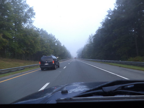

I love driving in the fog, as long as I either know the road or, in this case, it was Interstate and I could be fairly certain of the highway. The fog only lasted an hour.
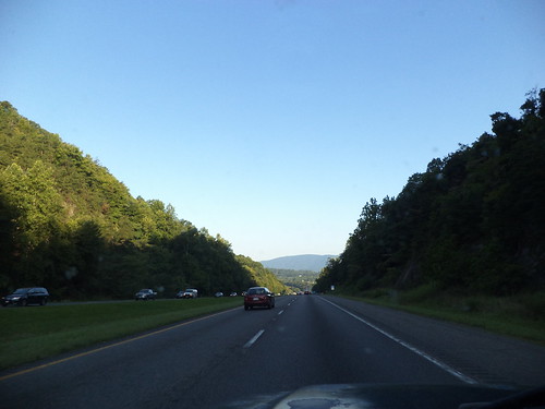

The morning was impossibly beautiful. The above photo was taken on I-64 west of Charlottesville. I hadn't seen this scenery the previous week because it was dark.

At the intersection of I-64 and I-81, I went right, north.
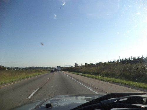

I drove north to almost the Pennsylvania border, meeting I-70 in Maryland, and turned left, to head west.
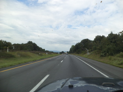

Here's where I met the mountains. I've driven this section before, back in 2011. Some of the scenery seemed familiar but it's still new. I-70 gave way to I-68 and I approached this cut through the mountains. This was familiar.

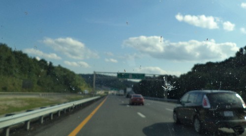
I noticed on the way out that there just weren't very many bug splats on the window. There were more on the way home, but I remember years of travel where you'd use the windshield wipers and the sprayer in an effort to get the bugs off the windows. Are there less bugs? Did I happen to travel during a time when bugs aren't plentiful? Or was my travel through a bugless area?
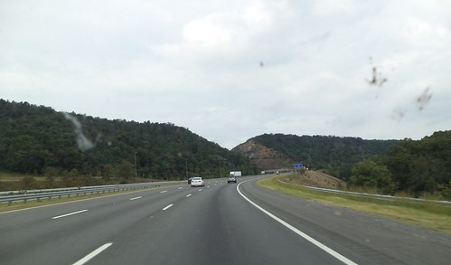

I-68 is designated the "National Freeway" and passes through some beautiful scenery in western Maryland. Notice I'm in the right lane. It was this drive where I really encountered the slowness of the Jeep. Try as I might, I couldn't build up enough steam to sustain even 60 miles per hour. My speed dropped to around 50 when I would finally clear the top of these mountains.
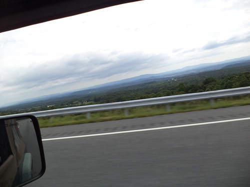

This photo is a good example of the "Blue Ridge Mountains". Notice the difference in color. The highest peak I cleared topped out at over 2800 feet. This is the time you want someone else with you so someone could take a photo of the nice sign they put up letting you know that, yes, your ears have popped because you're over 2600 feet. 

Here I am in West Virginia. 


I met up with I-79 and headed right, to the north, to Pennsylvania. 
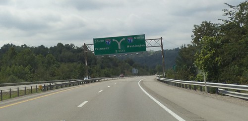

Western Pennsylvania still contains similar mountains. I knew, from checking the weather, that I could be driving into rain. Although the overcast weather in Maryland and West Virginia, kept the temperatures cool, once I got into Pennsylvania, the temperature went up, even in the mountains, by about 15 degrees. And there, like a wall, were the rain clouds. 


It turned out, however, that I drove around the rain for at least an hour. 
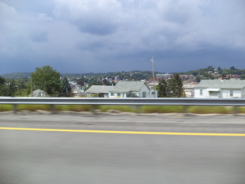

North of Pittsburgh, we met, but it wasn't much to speak of, a brief shower moving from left to right and I drove out of it as quickly as I drove into it. 
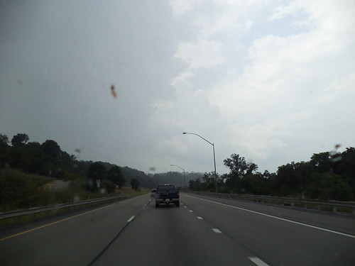

It didn't cool off the air at all. 

I picked up good old familiar Interstate 80, turned left and headed west. Oh hey! I know this intersection. 


I waved in the direction of April and Perry's. Next time, I hope my trip allows me to see all the people I know around Youngstown. 

As I headed west, I could see the rain south and west of me. It seemed like all the hype about "heavy" rain or even any kind of rain wasn't going to happen. 


But it was in western Indiana when I finally met the rain which actually cooled things off. I love driving in rain. I love the swoosh of the wipers and the rattle of the rain on the roof. In the summer, I love the change of smells from hot pavement to steamy pavement to cool, wet pavement. I love the look of the land in the rain. 


Beyond this, it grew too dark to take photos and I could feel how close home was. When I pulled in the drive, 16 hours after leaving Richmond, I was exhausted, but nothing is quite so wonderful as knowing you're home.

Would I go that route again? It's all Interstate, unlike the route out. I'm not sure. Knowing that there is major construction in Dayton and how poorly marked the intersection of the two routes was where I had to leave the Interstate and pick up the US Highway, I'm not inclined to want to go that way. But the way out was 2 hours less time and that's a strong consideration in travel. There are a number of ways to get from here to there and back again. If this becomes a yearly event, I'll have a chance to experience them all. 

Beverage:  Lady Gray Tea

Deb

Wednesday, September 18, 2013

The Things I Saw - Part the Fourteenth

Landscapes. Difference. Beauty.

Ohio isn't much different than Iowa.


I could be on the road to visit my mom instead of somewhere on US 35, southeast of Dayton, heading towards West Virginia. Corn. Miles and miles of corn. Blue sky. Puffy clouds.

And then I reached the Ohio River and crossed into eastern West Virginia. The photos below, of Charleston, hint at the driving to come. From there, it was up into the mountains.

We don't have mountains out here in the midwest. We have hills and valleys. Sometimes, as when you're walking the Fire Trail at Effigy Mounds National Park, those hills can seem like mountains, but they aren't really mountains.


I was directed to get off the West Virginia Turnpike and follow Interstate 64 east. These don't look that intimidating.


As I drove into and out of the shadows of the hills, the air temperature dropped noticeably. I had the driver's side window half-way open at this point, and it was interesting to go from a fully sunlit section to shade and feel the air coming in the window drop in temperature.

Our ancestors took paths of least resistance. Going through the mountains with a wagon and horses must have been arduous.


We have the technology to cut through those mountains. That lane on the right is where I discovered I would spend a great deal of time on an upward climb. The Jeep is a good traveler, but for horsepower going up, it would slow down. I think the slowest I ever climbed was at 50 mph. It does give you time to look at what's around you.

And then you cross the top of this particular mountain and it's smooth sailing down into the valley.


Setting down a road through the Appalachian Mountains is quite the feat of engineering. The past of least resistance, the trail used by our forefathers to get through this space, was followed in some locations. But getting from point A to point B sometimes meant bridging the gap between the hills. To the traveling public's ease, there are often long sections of straight road.


It hugs the right side of one hill and the left side of another with a bridge over the gap between them.

The road is separated here by a median of trees. There is a peace to travel here. Few cars, few trucks. Just me and the music, Benny Goodman at this point, and the sky and the sun and the clouds and the shade. You don't see this scenery around Wheaton, Illinois.


I came over a rise and saw the patterns on the mountains.


I wondered how they got the different colors of trees. Then it hit me. Those color changes are the shadows of the clouds.

I leave you with two more photos taken in eastern West Virginia. This area is in Great Smoky Mountains National Forest.


It's clearly evident why they are called "The Smokies".


Some day I want to go back and drive the Smoky Mountain Parkway just because it's there.

Beverage: Earl Gray tea

Deb
Things I Saw - Part the Thirteenth

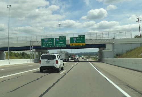
The cities of travel are often passed with no thought to what they are. Many, many, many years ago, I lived in Bloomington, Indiana, an hour's drive south of Indianapolis. Passing by Indy on my way east, I thought of how different it looked those decades ago. It was quite derelict back then. In the 1990's, the skyline was dominated by the RCA Dome, a white concave structure you saw on the left side of this photo. That's been replaced, but you can't see the new stadium from I-65.


Indy comes across a very utilitarian city. Form follows function with a parking garage and the squared, boxy buildings of a medical center complex. There's a capital building in the center of the city, but I couldn't see it from the road.

And then there is Dayton, Ohio.


I can't remember if I've been by Dayton or not. I think not. The downtown was less horizontal than Indianapolis, more vertical. Indy was tan. Dayton was steel and black and blue.

My preference is not to drive through a metropolitan area while traveling. I guess that comes from living in Chicagoland and knowing the phrase, "You can't get there from here" very often pertains to traffic in Chicago. But this journey east took me, following the map, unavoidably, past the centers of cities. I love living in Chicago, love looking at the city's profile. I'm so used to the buildings with 50+ stories that buildings with 20 stories being the tallest give me pause while realizing that, to the residents of this city, this is tall.

Many years ago, on a family trip out east, we drove by Charleston, West Virginia. I knew, given the lay of the land, that the Interstate had to be placed in such a manner that you drove right by the capital building. 


At that time, I thought it would be neat to make a pilgrimage to the various capital buildings of all 50 states, take their tours and look at their construction. As I drove by this, I was kind of sad that I let that idea die. I don't believe in "bucket lists". (That's a post for another time.) I simply enjoyed the view of the capital building of West Virginia gently reflecting the sunshine of an August afternoon. 


Beverage:  Earl Gray tea

Deb

Monday, September 16, 2013

A Stop With Purpose

Below, you'll find the photos I took of the various state signs I encountered as I headed east to see Carole in August. The other identifying feature of a state is their rest stops. Often one of the first things to close in a cash strapped state, how these are built and maintained says a lot about how the state views the people traveling through.

At 9:00 a.m., on the 15th, I stopped to stretch and use the facilities at a rest stop off I-65 as I headed to Indianapolis.


Compared to other rest stops, there is a huge amount of grass here. Picnic facilities are off the screen to the left but that consisted of 3 picnic tables and a garbage container. The circular building is where the vending machines are. The actual restrooms are in the left center, behind the trees. There was a giant "you are here" map inside, brochures of attractions in Indiana and men's and women's lavatories. Utilitarian. Truck parking is behind me. As spartan as this is, I actually appreciated having a ways to walk. I needed to get out and stretch. Perhaps that is one of the reasons for this design. The walk clears your head and makes you less of a drowsy driver.

This is the rest stop in Virginia. I got here at 6:30 p.m. on Thursday, August 15th.


It's tucked into the side of a hill. You can see lots of benches to sit down, newspaper vending machines and the men's and women's lavatories on either side of the main building in white. There were three maps outside with "you are here" markers. The center section had maps, brochures and a small shop, closed at this time, that sold souvenirs. There were vending machines in this area. There was a large picnic area off to the right, a dog run off the opposite end of the building and flowers everywhere. I think I like this place the best.

On Thursday, August 22nd, when I headed home, I stopped at a West Virginia rest stop located on north Interstate 81.


Everything was contained in this building, from lavatories to travel information to a small selection of vending machines. There were picnic areas on either side of the building with a dog run way off the to right. The landscaping was nice but didn't have as many flowers as the Virginia stop did.

I have always liked the Ohio travel plazas off Interstate 80.


They are huge, as rest stops go. Three vendors selling food are in the circular room, with ample seating for several school busses full of kids on their way home from a band contest. There is a nice convenience store and a small game room. There were two TVs, one showing news, the other showing the weather. That was important because I knew I was driving into rain and I wanted to know where it was. This is a pleasant place to stop and take a break.

You contrast this with the last place I stopped, mainly to get gas, although I did get a Coke for the rest of the drive home.


This is the last service plaza west on the Indiana Toll Road. It's a low building with a large sign advertising McDonald's on the front. There is a lot of seating to the left with a couple of large screen TVs with CNN and the Weather Channel on them. McDonalds is to the right as you walk in.

You have to be of a certain age to remember Howard Johnson's along the main highways as you traveled. They contained a restaurant, bathrooms, gas pumps and one of the largest souvenir stores you'd see on your travels. If you wanted any kind of souvenir about Indiana, you could find it at the store attached to these rest stops. They weren't attached to the Interstate themselves. You had to drive off the road to find them, but you didn't have to go far. Howard Johnson's distinctive blue roof made it easy to spot.

Now, we have McDonalds. We know they pay a licensing fee to be in these places. Probably a portion of the revenue generated goes to the state where they are located. I like Ohio's rest stops for the variety in who offers food. If you are hungry or in need of gas, Ohio and Indiana on the toll road have you covered. For just a rest, Virginia's stop was the best.

I guess it's a matter of what the state thinks needs to be provided the traveling public. The toll roads have limited on and off ramps so there is a need to provide more than just a potty and a pop machine. The other places were between exits where food and gas can be procured. Each works for its location.Virginia and Ohio made me want to stop and rest. That is, I think, the main point of these places. Provide the traveler a place to just be. Let them recharge their batteries. A rested driver is happy driver.

Beverage:  Earl Gray tea

Deb
Where Are We?

States like to advertise themselves. How do you make yourself look different from your neighbor? How do you let people know when they have arrived in a new state?

Signage! You pay an advertising company a lot of money and they come up with "Iowa: A State of Minds". Then, you cringe as realize how people will take that moniker and decide, no, that's not going on our license plates or on the signs that welcome you to the state.

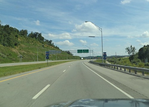
As I traveled to Virginia, those signs were a delineation of just how far I'd gone. Here is Indiana's, reached at 7:15 in the morning.


Trust me. It's Indiana. It's a simple blue sign with the state in red and white "Welcome to Indiana" across the face of it.

At 12:30 p.m., I reached Ohio.


Two simple arches with the state's sign affixed to each. Indiana's is metal while Ohio's is cast concrete painted robin's egg blue. It's graceful. I don't know about elegant, but it's a clear indication of arriving in Ohio on I-70. It says, simply, "Welcome to Ohio" with the "Welcome to" in red, with a script "Ohio" in blue.

Heading southeast, I've reached West Virginia by 3 p.m.


The US 35 bridge over the Ohio River was under construction. Traffic is reduced from 2 lanes to 1, but crossing at this time wasn't too terrible. I would imagine this could be bumper-to-bumper in the morning or in the evening as people go to or come home from jobs on the other side of the river.

West Virginia's sign is an image of blue sky and mountains with "Welcome to West Virginia" in white letters. The state seal is on the right side of the sign. Below the welcome is the slogan "Wild and Wonderful" in sunflower yellow. It's distinctive but maybe a touch too busy, although it does grab your attention.

Finally, there is the Virginia sign which was stuck to the side of the road.


It's mountainous at the location where West Virginia meets Virginia. The graceful arches of Indiana or Ohio wouldn't be appropriate here. This is what one usually thinks of when you think of a state sign. It's something stuck in the ditch by the side of the road announcing you've moved from one marked spot on a map to another.

The sign reads "Virginia Welcomes You". "Virginia" is in blue with "Welcomes You" in red. There is a cardinal sitting on a dogwood branch on this sign. The blue extension at the top announced the welcome area was 2 miles ahead. It was 6:30 p.m. by now and I still had 3 hours ahead of me. I have to say this sign gave me a great feeling of relief. The journey there was nearly over.

Beverage:  Earl Gray tea

Deb
Sunday, September 15, 2013

Heading Out

One of the things I do on vacation, particularly when it involves a drive, is to document the route that I take. This might seem weird, but I've found that having these documentary photos in the middle of all the other ones I take, reminds me of where I was at the time the others were taken. In the case of a road trip, it shows the route I took to get to the destination. Herewith is the trip out to Carole in Virginia.

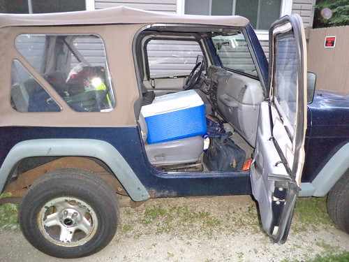
The radio came on at 5:15 a.m. I really wanted to be on the road by 6, knowing I had a, probably, 14 hour drive, with stops, ahead of me. I managed, almost in spite of myself, to be 90% packed on Wednesday night. This included the Jeep.


Thursday morning was merely scooping up the last of the toiletries, packing the cooler and doing one last round through the house to see if I'd forgotten something. I'd had my suitcase out since Saturday night, but I don't think it sunk in that I was leaving until Thursday morning.


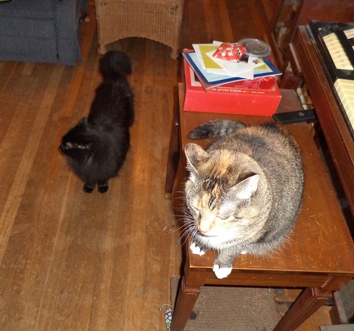
A whole bunch of treats and a lot of ear scratching and I was ready to go.

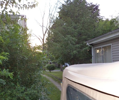
It was chilly Thursday, August 15th at 6 in the morning, but the sun had just come up.


I headed to Dunkin' Donuts for tea and a couple of donuts.


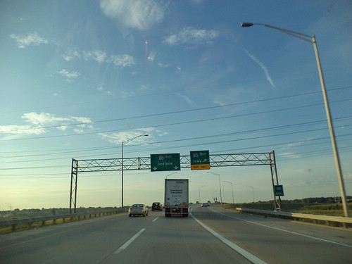
Once I had those, it was really time to head east. First Interstate is I-355 which runs north south from I-80 in the south to I-290/90 in the north, west of Chicago. If you get a map out, you can follow along.


Yeah, the inside of my windshield is not the cleanest. I wiped it down when I stopped for gas in Indiana.

I headed south on I-355. This is a very familiar road. We do business in the far south suburbs of Chicago and NW Indiana so I have had occasion to travel this route quite a bit. At the south end of I-355, you meet I-80.


Time to head to Indiana and not Iowa. I stayed on I-80 until it met I-65. I took that and headed south to Indianapolis.


Somewhere along this route, the time went from Central time to Eastern time. That was one reason I wanted to leave when I did. It's a 14 hour drive from MY time but it seems longer because there's that time change.

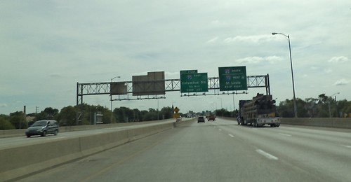
I drove through Indianapolis and picked up I-70 east to Columbus, Ohio.


It was around the noon hour when I got to Indianapolis but traffic was light and moving very well.

I-70 had road destruction on it. I had looked at the web sites for all the states through which I would be driving and had not seen anything regarding road construction on Indiana Interstates. It's kind of disheartening to suddenly have traffic reduced from 70 to 45 when you weren't expecting it.
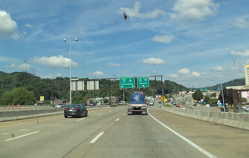
Just after entering Ohio, I arrived at the junction of I-70 and I-75. I went to the right and took I-75 south toward Dayton.


It was the road destruction to the west of Dayton's downtown that convinced me to take an alternate route home.


They are completely rebuilding the interchange with US 35, which was the road www.bing.com/maps told me to take east southeast toward West Virginia. Bridges are being reconstructed. On and off ramps don't exist. I missed the exit for US 35 but they had, clearly marked, an alternate for those people who realized they'd missed the exit. It was a mess. So I picked another route home.

US 35 is, in Ohio, a 4-lane, well-maintained highway. I couldn't imagine, when I got the directions, why this route would be selected. If the interchange with I-75 hadn't been under construction, I would have come back this way because I made very good time; good time UNTIL US 35 crosses the Ohio River and gets into West Virginia. Then, it shrinks from 4 lanes to 2 lanes. It's a major arterial in that region and I found myself car #5 behind a motor home doing 45. Plus, the road is being resurfaced. Suffice it to say, that was the slowest travel time of the entire trip. When US 35 became 4 lane again, I was thrilled. Shortly after that, though, came the intersection with I-64.


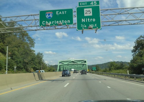
I would stay on I-64 for the rest of the trip. First, I passed by Charleston, the capital of West Virginia.


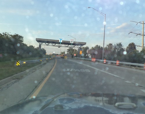
Once across the river on the east side of Charleston, I got on the West Virginia turnpike. I was so very glad I had an IPass. I didn't have exact change with me at the time.


At this blurry intersection, I-64 leaves the West Virginia Turnpike and heads up into the mountains.


You can see how great a day it was to drive. It was actually cool and I never had the windows down because, when I did that, it was too chilly.

I stayed on I-64, heading east to Richmond. In western Virginia, it joins with Interstate 81 and runs the Shenandoah Valley north south. That's a lovely drive, which I did on Thursday, August 22nd. South of Staunton, Virginia, I-64 goes right toward Richmond. The directions for getting through this interchange were incredibly confusing and involved going north on I-81, getting off, going through this industrial area, going back south on I-81 and then east on I-64. I was so incredibly worried I'd get lost because I'd be coming at this at, as you can see, dusk. But you can see in this photo, there's simply an arrow to the right. Obviously, those directions were inaccurate. I just veered right and was on I-64 heading to Richmond. This would be the last photo documenting the route to Carole's.


I pulled into her apartment complex at 9:30 p.m. She said she was the last building in the complex that was parallel to the drive. She's not. There is another building farther back. I got confused because I couldn't find the building number. She was at a concert. So, I just parked the car and sat. I was there. I'd made it. I was tired but in a good way. Best of all, unlike a lot of my recent road trips, nothing had gone wrong with the Jeep. Now to enjoy a week with my daughter.

Beverage:  Dr Pepper

Deb